What Makes Big Data Good Data?
No one would argue that we shouldn’t make better use of the data that we have, and it’s generally agreed that visualizations can help make data more easily understood. However, Linda Raftree points out that some dashboards more effectively display data than others. Raftree explains why some dashboards fail, while others are used for making more strategic decisions.
Key points that I especially enjoyed include:
- There is more than one type of decision-maker; know who will be using the dashboard so you can tailor it to their needs.
- Decision-makers might not know exactly what they want, so find out what kind of decisions they are trying to make.
- Dashboards may point out how bad their data is and spur a desire to collect better data.
A good dashboard can help improve and speed up decision making when users are collecting the right data and integrating it into regular processes. For example, one US city’s parks department detailed how dashboards were able to help them monitor their work while on a tight budget.
On the blogosphere, one author is unimpressed by the quality of data that comes out of program monitoring; perhaps a good public dashboard will spark a desire to improve M&E data quality. The argument is sound, if you want to learn from the data collect, you must make sure the data is sound.
Erica Hagen of GroundTruth Initiative argues that it doesn’t just matter if you have good data, but it is essential to consider how that data got to be there and which perspective it reflects. What is important or understood from a local’s perspective might be disregarded or misinterpreted by someone who doesn’t understand the context. For instance, OpenStreetMap geotagging starts at the street level and is shaped by local knowledge and doesn’t come from outsiders who only have a birds eye-view. This is important if we plan to use maps for alleviating poverty, responding to disasters, achieving transparency, etc.
If you happen to be interested in using a mixture of online and offline maps, check out the new Field Papers website. This interesting project allows you to download and print an atlas from OpenStreetMap, scribble comments and notes all over, and then re-upload it to attach it to your atlas online.
This piece was originally posted on the First Tranche. Image from Erica Hagen.
Share This Post
Related from our library

Challenging Pessimists—and Optimists—to Reimagine Data and Power
Josh Powell and Jenna Slotin reflect on the Data Values Project and building a movement for change in data for development.
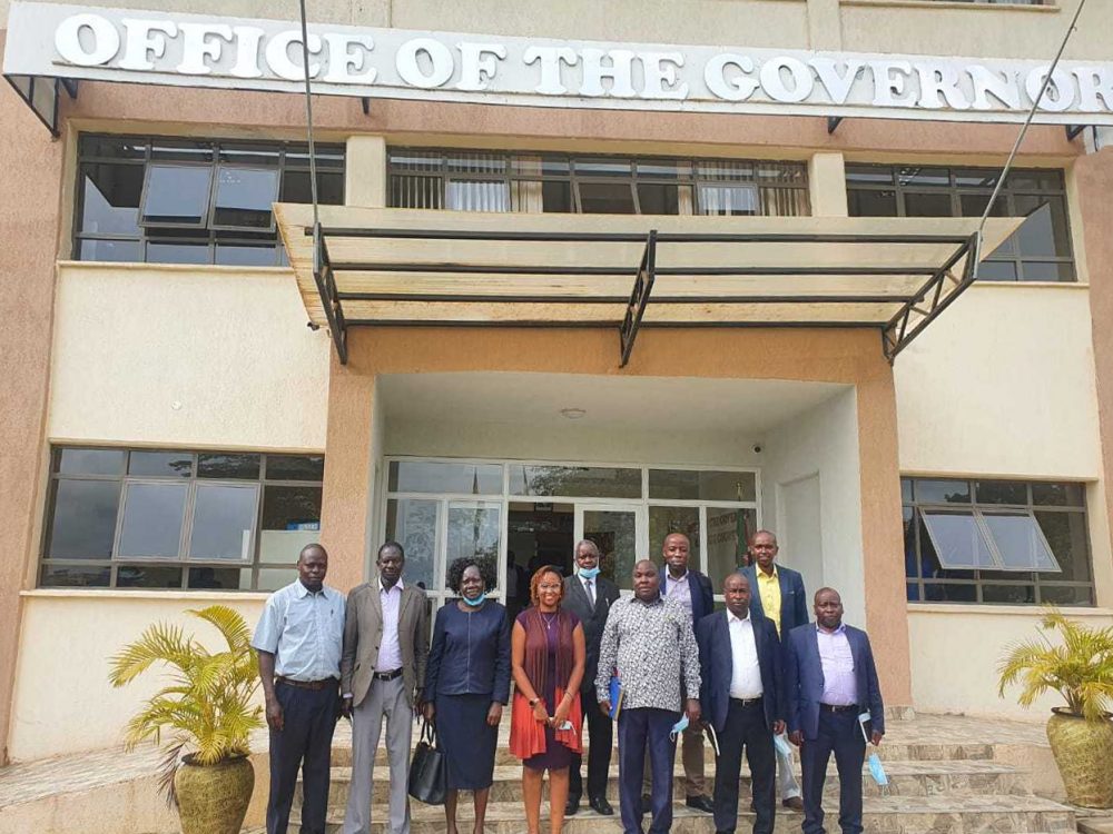
Scaling Open Contracting in Kenya
Elgeyo Marakwet County in Kenya recently launched their own Open Contracting Portal at the end of April. DG has worked closely with the county to understand the customizations needed in order to meet their needs and has added additional features to the system.