Web Application Facilitates Global Dialogue around Aid Projects
PRESS RELEASE
Washington, DC – Public voting is open through February 28 for the World Bank’s “Apps for Development” competition, which challenges development practitioners and technology professionals to develop innovative software applications that address the Millennium Development Goals. AidData, with technical support from Esri, created the “Development Loop” application for submission to the contest. The application demonstrates how geospatial technology can facilitate a rich dialogue between aid donors, beneficiaries, and other stakeholders. To vote or access a demo and prototype of Development Loop, visit the Apps for Development website.
AidData – a joint initiative of Brigham Young University, the College of William and Mary, and the non-profit organization Development Gateway – works to foster aid transparency and effectiveness by gathering, standardizing, and interpreting project-level information on development activities. Development Loop is designed to address the need for increased transparency, accountability, and assessment of the complex flow of development funds across the globe. It incorporates data on projects funded by the World Bank and African Development Bank, overlaid with regional development statistics and project success stories reported by GlobalGiving, to produce a visual story of aid, need, and impact. Future versions will employ crowdsourcing tools, allowing development professionals and community beneficiaries of aid to create or update project data from anywhere in the world via free web and mobile applications. In doing so, AidData hopes to generate a “feedback loop” between aid donors and recipients.
“Development Loop goes far beyond depicting where and how funds are being spent,” says Stephen Davenport, Senior Director for Business Development at Development Gateway, an AidData partner. “It shows how technology tools have the potential to transform the way aid is delivered and monitored by giving citizens a voice in the process.”
Development Loop has a simple mapping interface that allows users to zoom in and out; switch between basemaps from providers like Bing and OpenStreetMap; view relevant information such as transportation infrastructure, health facilities, and development indicators; and access brief descriptions of development projects with the click of a button. The Apps for Development competition prototype was built using Esri’s ArcGIS API for Microsoft Silverlight/WPF and ArcGIS Server technology. Development Loop utilizes World Development Indicators made available through the World Bank Open Data initiative. World Bank and African Development Bank activity data used in the prototype was geocoded through the Mapping for Results project, a partnership between AidData and the World Bank.
Development organizations interested in collaborating to integrate project information into Development Loop may contact AidData at info@aiddata.org.
###
About AidData
AidData is an initiative to gather, standardize, and analyze information on development finance. AidData has gathered project-level information from more than 89 official donor agencies, including 35 donors which have never before systematically reported aid information Projects in AidData’s database represent more than $4 trillion in development finance, constituting the world’s largest single repository of aid information, building on the OECD’s Creditor Reporting System. AidData is a joint program of Brigham Young University, the College of William and Mary, and Development Gateway. For more information, visit www.aiddata.org.
Press Information
Contact: Emily Kallaur, Development Gateway
Tel: 202-572-9227
E-mail: ekallaur@developmentgateway.org
Share This Post
Related from our library
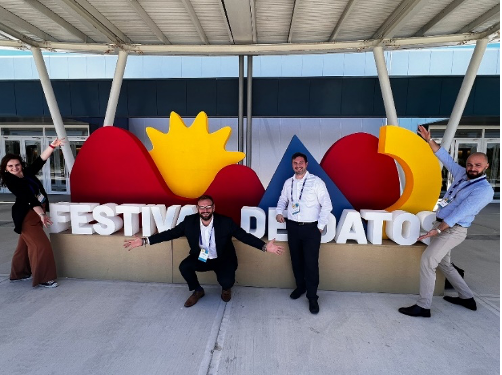
Developing Data Systems: Five Issues IREX and DG Explored at Festival de Datos
IREX and Development Gateway: An IREX Venture participated in Festival de Datos from November 7-9, 2023. In this blog, Philip Davidovich, Annie Kilroy, Josh Powell, and Tom Orrell explore five key issues discussed at Festival de Datos on advancing data systems and how IREX and DG are meeting these challenges.
Unlocking the potential of digital public infrastructure for climate data and agriculture: Malawi
DG’s DAS Program recently attended an event on creating a national digital public infrastructure (DPI) in Malawi in order to increase the impact of climate data to combat current and future agricultural issues caused by climate change. In this blog, we reflect on three insights on DPIs that were revealed during the event discussion.
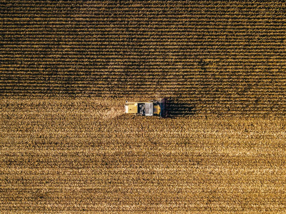
What Does a Good Agriculture Data System Look Like? Reflections from 2023 Festival de Datos
DG's joint session at 2023 Festival de Datos posed the question: What does a “good” agriculture data system look like? In this blog post, we'll delve into the key principles that emerged from the discussion.